
Hopkinsville ZIP Directory Coverage
Authoritative USPS material identifies a two-code city pair for Hopkinsville. The pair is small, but it should not be read as a map of incorporated land. USPS assigns codes for delivery. Christian County and Hopkinsville draw government boundaries for other purposes. The USPS ZIP Lookup is therefore the best check for one complete address, while county maps answer whether that parcel lies within the city.
| ZIP Code | Areas Covered | Post Office | Notes |
|---|---|---|---|
| 42240 | Hopkinsville delivery area | Hopkinsville Post Office | Primary city label; a postal city may extend beyond city limits |
| 42241 | Hopkinsville alternate delivery addresses | Verify by address | Paired with 42240; exact service type was not shown on the static USPS page |
The official post-office page displays 42240-9998 for the Hopkinsville location. The research did not find a complete public service-type legend for 42241, so describing it as strictly PO-box-only would go beyond the source. Codes such as 42232 and 42236 appear in USPS sorting combinations around Hopkinsville, but those scheme lists are not a city service list. This ZIP code directory keeps the verified city pair separate from nearby routing codes.
Verify Hopkinsville ZIPs by Address
Use the postal form with a street address instead of guessing from a neighborhood name. USPS offers lookup by address, by city and state, or by cities attached to a ZIP. Its address form accepts a company and unit when needed, then requires the street, city, and state. A ZIP can be supplied, but it is optional. USPS also warns that the result does not establish that a named person or company occupies the address.
| USPS field | Use | Required |
|---|---|---|
| Company | Business or institution name | No |
| Street Address | Delivery street and number | Yes |
| Apt/Suite/Other | Secondary unit | No |
| City and State | Postal place and state | Yes |
| ZIP Code | Known postal code | No |
The successful USPS PostalPro lookup capture shows the official tool used for ZIP confirmation.
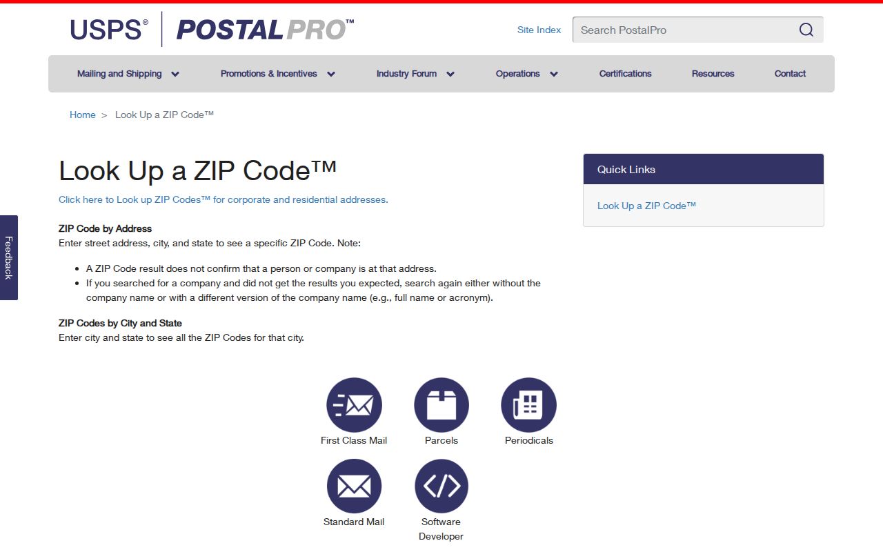
Use that postal result as one search key, then turn to property or voter sources for the record itself.
Hopkinsville Records With ZIP Fields
Not every local portal can browse a whole ZIP. The Christian County qPublic route advertises owner, address, and parcel-number searches, but the inspected public page did not confirm a ZIP filter. Hopkinsville Accela exposes property-tax searching by PIDN, address, or owner, also without a verified ZIP field. The ordinary voter form is for one known voter, not a public block list.
| Record tool | ZIP use | Practical key |
|---|---|---|
| USPS Lookup | Direct address and city modes | Full delivery address |
| qPublic | ZIP filter not verified | Owner, address, parcel |
| Hopkinsville Accela | ZIP filter not verified | PIDN, address, owner |
| Voter Information Center | No open ZIP browse | Name and birth date |
A restricted State Board of Elections file can be formatted by household, street, or ZIP for eligible political uses. It is not an open resident directory and carries use and resale conditions.
Find Hopkinsville Residents by ZIP
A ZIP code directory narrows geography; it does not identify the household by itself. Search from a verified address or a known name and keep each source’s limits clear. A parcel record usually names the owner, not every person who lives there. Voter registration confirms a known voter after the required identity fields are supplied.
- Enter the complete address in USPS Lookup and save the standardized ZIP result.
- Search qPublic by that street address. Record the parcel number, situs address, owner, mailing address, and tax district.
- Compare the parcel with the CDS GIS and E911 maps when the city line or ward matters.
- For a known person, use the state voter form with the legal name and birth date. Do not treat it as a ZIP-wide browse.
Once a postal area has been reduced to one road, the Hopkinsville street directory follows the address-level parcel and deed chain in more depth.
Hopkinsville ZIPs and Parcel Keys
Four address labels may appear in one Hopkinsville search. The situs address is the parcel’s physical location. The owner’s mailing address is where tax correspondence goes and may be elsewhere. A deed’s legal description identifies land by lot, block, subdivision, or measured boundaries. The ZIP serves mail delivery. None should silently replace the others.
- Situs address
- The physical address assigned to the parcel.
- Mailing address
- The address used to reach the owner.
- Legal description
- The land description that remains useful when street names change.
- Parcel number
- The PVA’s local identifier for the tract.
This distinction matters near a boundary. An owner may receive mail outside Hopkinsville while holding a city parcel, or a rural parcel may carry Hopkinsville as its postal city.
Hopkinsville ZIP History Needs Street Names
Postal research across time depends on the street label as much as the ZIP. Hopkinsville’s code records a long series of street-name and readdressing actions from 1984 through 2024. Examples include Gooch Alley becoming Saint Michael’s Way, South Sheridan becoming Justify Drive, and East 8th becoming Bell Hooks Way. The code host says its text may not be the final legal copy, so CDS/E911 remains the confirmation point.
No authoritative source was found for an alleged citywide renumbering in 1909. Do not build a ZIP code directory trail on that claim. Search the old label in a directory or map, bridge it through the official code and E911 material, and then match the modern parcel by legal description.
Note: ZIP codes arrived after the oldest Hopkinsville directories, so early address research must begin with street, map sheet, and year.
Hopkinsville ZIPs Versus City Limits
A Hopkinsville mailing label is not proof that the parcel falls inside the incorporated city. USPS delivery geography, the E911 service area, voting precincts, tax districts, wards, and the city line serve different purposes. Check the PVA tax district and the current CDS city or annexation map when municipal status matters. The inspected sources did not provide a complete ZIP polygon map or every annexation date, so a specific border parcel must be checked one at a time.
Christian County’s location adds another layer. Hopkinsville is the county seat in southwestern Kentucky, while the county reaches the Tennessee line and borders Todd, Trigg, Hopkins, and Muhlenberg counties. A postal label can therefore group an address for delivery without settling its municipal government, precinct, school assignment, or parcel tax district. The Fort Campbell area also makes nearby mailing geography easy to overread. For a record request, write down the full standardized address, parcel number, tax district, and map source instead of relying on the five-digit code alone.
The ZIP code directory is most useful as a sorting step. USPS supplies the delivery answer, qPublic connects a street to the parcel, and CDS/E911 supplies addressing and boundary context. If those systems disagree, use the date on each result and ask the responsible office to confirm its own field. A recent annexation, address correction, or assessment-cycle lag can explain why two official sources do not yet display the same label.
- ZIP versus ZIP+4
- A five-digit delivery area versus a more exact add-on for a segment or delivery point.
- PO-box ZIP
- A code used for post-office-box delivery rather than a mapped residential area.
- Unique ZIP
- A code assigned to one high-volume organization; none was verified for Hopkinsville.
- Carrier route
- A mail-delivery path within a ZIP, not a city or neighborhood boundary.
Boundary check. Use USPS for mail, qPublic for parcel facts, and CDS maps for the Hopkinsville city line.