
Hopkinsville Neighbor Record Sources
Each public source answers a different block question. Parcel tools show land and owners. Community pages show groups and contacts. A voter form checks one known person. Historical directories can show earlier householders. None is a complete live roster of Hopkinsville neighbors.
| Source | What It Shows About a Block | Access |
|---|---|---|
| qPublic parcel map | Adjacent geometry, parcel IDs, owner, mailing and situs links | Map browse and basic search |
| CDS/E911 maps | Address, ward, zoning, annexation, and city/county context | Official downloads and map resources |
| County deed index | Ownership succession on nearby lots | Paid portal, clerk counter, request |
| VIC or voter file | Known-person registration or restricted household format | Exact-person form; SBE-84 rules |
| Neighborhood Networks | Association contacts and area concepts | CDS links; no consistent public roster |
| HCCPL and CCHS | Past street occupants and telephone entries | Shelf, reel, staff help |
Owner and occupant are not synonyms. A mailing address away from the parcel can suggest that the owner receives mail elsewhere, but it does not prove who occupies either address. Keep those fields separate in every neighbors log.
Map Hopkinsville Neighbors by Parcel
The adjacent-parcel method is a map browse, not a name dump. Start with the target in the Christian County qPublic route. Record its parcel number and legal description, open the map, then move one lot at a time. The research did not verify a current radius or buffer control, export button, or exact identify-tool label.
- Search the known street address and save its parcel ID.
- Open the parcel map, pan along the block, and select each adjoining lot.
- Log situs, owner, owner mailing address, tax district, and deed-reference clue separately.
- Compare city, ward, zoning, and annexation context through CDS maps.
- Use the Hopkinsville street directory if the search expands beyond the immediate block.
Printed 2025 city, ward, and zoning maps or the 2022 county map can orient the search when the live viewer fails. Confirm each property through its own parcel report instead of assuming every visible structure is a separate parcel.
Read Hopkinsville Neighbor Parcel Fields
A parcel report may show an individual, a trust, a company, or another entity as owner. It may also show a mailing address outside Kentucky. Neither result establishes who sleeps at the Hopkinsville situs address. The deed book and page can confirm the recorded transfer, while a tax district helps interpret local government geography.
- Parcel
- A tract of land represented by a local ID.
- Situs
- The physical location assigned to the parcel.
- Mailing address
- The place where the owner receives tax mail.
- Legal description
- Lot, block, subdivision, or measured boundaries used in land records.
Compare these fields across adjoining parcels, but do not infer a household from an exemption flag or a matching mailing address alone. Those are leads that may need a deed, directory, or direct community contact.
Hopkinsville Neighbors and Voter Limits
The Kentucky Voter Information Center checks a known person using legal first name, last name, date of birth, and an optional partial Social Security number. It returns current registration, polling place, and absentee status. It is not a public browse of everyone on a Hopkinsville block.
KRS 116.095 permits inspection and copying of registration records with Social Security numbers redacted. Yet SBE-84 household, street, and ZIP formats are restricted to stated candidate, party, or issue categories and carry use and resale conditions. Safe at Home participants may have protected address treatment. That makes voter material a narrow confirmation source, not an open neighbor list.
Known-person rule. Use the ordinary state form to verify one known voter, not to build a public roster around an address.
Hopkinsville Neighborhood Network Contacts
Community Development’s neighborhood resources identify a civic layer beyond parcels. The inventory names Bryan Street, Canton Pike, Westside, Durrett Avenue, Crockett/Virginia Street, and Hopkinsville Eastside. Official city materials from 2025 refer to Durrett Avenue, Eastside, and Westside representatives, but public membership lists were not found.
| Network | Public status found |
|---|---|
| Bryan Street and Canton Pike | CDS links; roster not located |
| Westside and Durrett Avenue | CDS links and 2025 participation |
| Crockett/Virginia Street | CDS and historical inventory; current roster unclear |
| Hopkinsville Eastside | Historical inventory and 2025 participant reference |
These contacts can help with public meetings, cleanups, or local history. They should not be represented as directories of Hopkinsville neighbors.
Hopkinsville Community Groups, Not Rosters
Great Oaks illustrates the private-association layer. Its public site says the subdivision was established by deed on November 14, 1973, and has 309 parcels and more than 300 homes. It publishes community and dues information, not a public member list. Congregations, clubs, schools, and block groups likewise tend to keep household rosters private.
The Christian County Sheriff’s Neighborhood Watch program explains how communities set territory, meet, elect officers, and receive training or signs. It names Kelly, Crofton, Lacy, and Pembroke watch communities, not participants. A January 2026 report directed Hopkinsville residents to HPD at 270-890-1522 for forming groups.
The successful official watch-page capture shows that contact route.
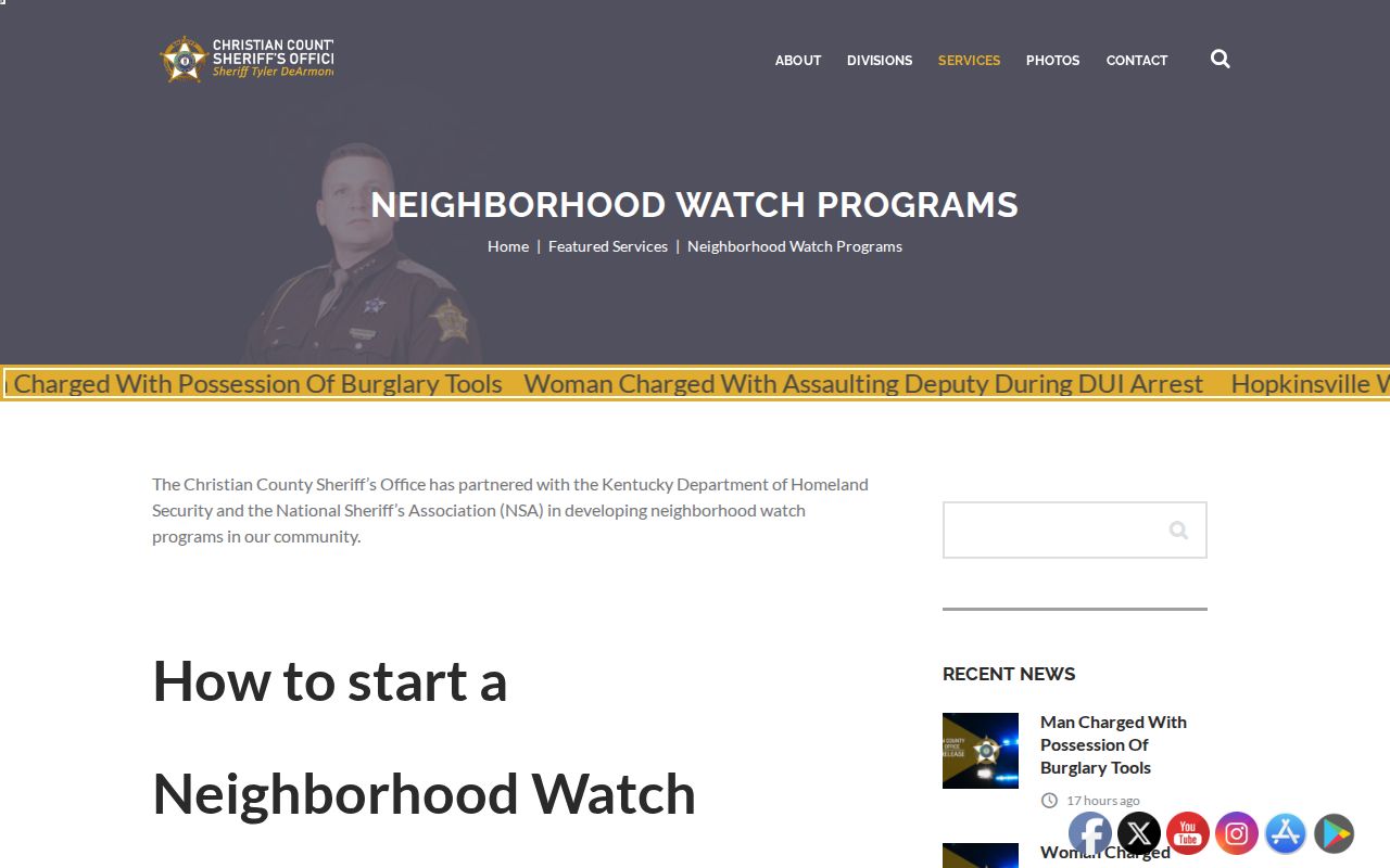
The program connects residents for safety work while preserving the privacy of individual participants.
Compare Hopkinsville Neighbor Tools
Official records and commercial neighbor tools answer different questions. County records identify the custodian, field meaning, and request route. Commercial services may merge old addresses and names without showing when a source changed. They can be quick, but speed does not make an occupancy claim current.
For a sound Hopkinsville neighbors search, keep a dated source log. Write down the parcel ID, the date shown on the assessment report, the deed reference, and the office that supplied each fact. If two sources disagree, the conflict may reflect a recent sale, a mailing change, or a portal update delay. Ask the PVA about assessment fields and the County Clerk about recorded title. That office split is more reliable than choosing whichever combined result looks newest.
| Source type | Strength | Limit |
|---|---|---|
| Official parcel and deed records | Defined ownership fields and recorded references | Do not name all occupants |
| Official voter form | Known-person registration check | No open block browse |
| Community organization | Local contact and public activity | Membership often private |
| Commercial category | May combine several public clues | May be stale, incomplete, or unclear |
Verify a claim with the office that keeps the underlying roll. For a failed online map, call the PVA at 270-887-4115 or CDS/E911 at 270-887-4285, visit the counter, or request the relevant public map or permit record.
A dated parcel log also prevents one common error: treating nearby matching surnames as one family. Hopkinsville and the wider Pennyroyal region have cross-county moves, initials, maiden names, and repeated names in historical sources. Record each parcel and deed reference first. Add an obituary, yearbook, voter confirmation, or community contact only when the record supplies a real link. Physical closeness by itself does not establish kinship or shared occupancy.
Privacy for Hopkinsville Neighbors
Utility accounts, delivery data, motor-vehicle addresses, private association rosters, and most congregation lists are not public block directories. Renters and other household members may not appear on a parcel roll. Kentucky’s Safe at Home program provides a substitute address, mail forwarding, and protected voter-record handling for eligible survivors.
Historical directories and Sanborn maps can illuminate the older block without exposing a live roster. The 1913 Hopkinsville Sanborn maps, for example, show buildings and use, not occupants. That boundary is useful: a map can support neighborhood history while leaving personal household facts to lawful, source-specific research.
Lawful use. Find Hopkinsville neighbors for civic contact, reconnecting, local history, or personal safety. Never use records to watch, intimidate, harass, or harm anyone.