
Walk a Hopkinsville Street
A street directory search works best as a chain. Begin with the exact modern address, but record every stable land key returned. The owner name can change. A parcel number, lot, block, subdivision, and deed reference are better bridges between systems.
- Search the Christian County PVA by street address and save the parcel number.
- Select the parcel in the linked map and inspect adjoining parcel geometry.
- Read the situs address, owner mailing address, tax district, and deed book/page.
- Use the County Clerk index or counter to follow grantors and grantees.
- Check Accela for address-keyed permits or code events.
- For earlier occupants, use HCCPL telephone and reverse-directory holdings.
This process establishes documented associations, not a complete household. A deed proves a recorded interest, while a directory proves a published listing for one edition.
Build a row for each parcel along the chosen block. Record the street number, parcel ID, situs, mailing city, owner, deed reference, and search date. Then mark which fields are direct record facts and which are inferences. This prevents an out-of-state mailing address from being read as a second Hopkinsville property and keeps a shared surname from joining unrelated parcels. When the map and typed address disagree, the parcel geometry and E911 contact provide the next check.
Search Hopkinsville Streets by Parcel
The Christian County qPublic portal advertises owner-name, property-address, and parcel-number searches. A current report can show parcel and alternate IDs, situs, owner and mailing address, class, homestead flag, tax district, deed book and page, assessed value, sales, and some property traits.
| Portal field | Type | How to use it |
|---|---|---|
| Owner name | Optional text | Find parcels tied to a recorded owner |
| Property address | Optional text | Try current number, street, and suffix |
| Parcel number | Optional text | Use the county hyphen and decimal format |
| Map selection | Browse | Select a parcel when the map loads |
| Report links | Result action | Open sales, deed, value, and address details |
The portal’s exact historical start, result cap, and live map controls were not published in the captured page. Do not assume every layer or subscription field is free.
A sample qPublic report shows why those distinctions matter. It displayed a Hopkinsville situs address, a Texas owner mailing address, a parcel number, tax district, commercial class, deed book and page, several sales, and a 2026 assessed year tied to an October 2025 upload. The sample is useful for portal mechanics, not for generalizing about residents. Its mailing field cannot establish where the owner lives, and the report’s short land description explicitly was not the legal description.
Read Hopkinsville Parcel Addresses
Situs is the physical property address. The owner mailing address is where the tax office sends notices and may be outside Hopkinsville or Kentucky. Neither proves that the owner sleeps at the property. An entity or trust can own the parcel, and a homestead flag is evidence of a claimed exemption rather than a household roster.
The Christian County PVA assesses ownership as of January 1. After a sale, a tax bill can still display the former owner until the next cycle, though the office tries to update mailing information from the deed. Compare qPublic with the latest recorded instrument.
Insider tip. When a tax name conflicts with a deed, save both dates before deciding which record is newer.
Map Hopkinsville Streets with E911
Christian County GIS and E911 assigns new-development addresses, captures coordinates, resolves conflicts, and reviews road names. Its resources include county, city, zoning, ward, district, Fort Campbell, and annexation maps. These are separate verified map products; research did not confirm that every item is a checkbox inside qPublic.
The reliable path is address to parcel report to parcel geometry. Use the city and annexation products to test whether a Hopkinsville mailing label is inside the municipal line. Use E911 when duplicate or similar road names create doubt. A postal city, tax district, ward, and emergency-service area answer different questions.
CDS also publishes a current Hopkinsville city map, zoning and ward maps, a county map, magisterial districts, Fort Campbell geography, and annexation history. Use each product only for the layer it names. Research did not confirm a buffer tool, measure control, or a complete list of live viewer checkboxes, so those functions should never be promised. At the office, a parcel number or coordinate is more precise than asking staff to browse an entire street.
Hopkinsville Records Keyed by Street
The Hopkinsville street directory draws from record sets created for different purposes. Their access channels range from a free basic search to a paid login, counter terminal, written request, or library shelf.
| Address record | Keeper | What it shows | Access |
|---|---|---|---|
| Parcel card | Christian County PVA | Owner, situs, mailing, parcel, value, deed clue | qPublic and counter |
| GIS/E911 | CDS | Parcel placement, addressing, districts and maps | Online resources, office |
| Deeds and plats | County Clerk | Parties, book/page, legal description, title chain | Paid portal, counter, request |
| Permits and cases | CDS/Accela | Address event, owner or applicant, project fields | Dynamic portal, records request |
| Reverse directories | HCCPL/CCHS | Historical names, phones, businesses and addresses | Shelf, film, staff request |
| Street ordinances | Hopkinsville | Dated rename and readdressing bridge | City code and E911 check |
Phone alternatives matter: PVA 270-887-4115, Clerk 270-887-4105, Legal Records 270-887-4109, and CDS/E911 270-887-4285.
Follow Hopkinsville Deed Parties
The Christian County Clerk says legal documents span 1797 to present. The linked paid portal did not disclose its online index cutoff or fields. Start with the PVA deed book and page, then capture grantor, grantee, instrument type, recording date, legal description, and image status at the portal or counter.
Grantor means the party giving an interest; grantee means the party receiving it. Search the current seller as an earlier grantee. Repeat until the portal ends or the legal description changes. Old deeds may omit the modern street address, so search lot, block, subdivision, and plat references too.
The manifest capture links to the Christian County deed-index login.
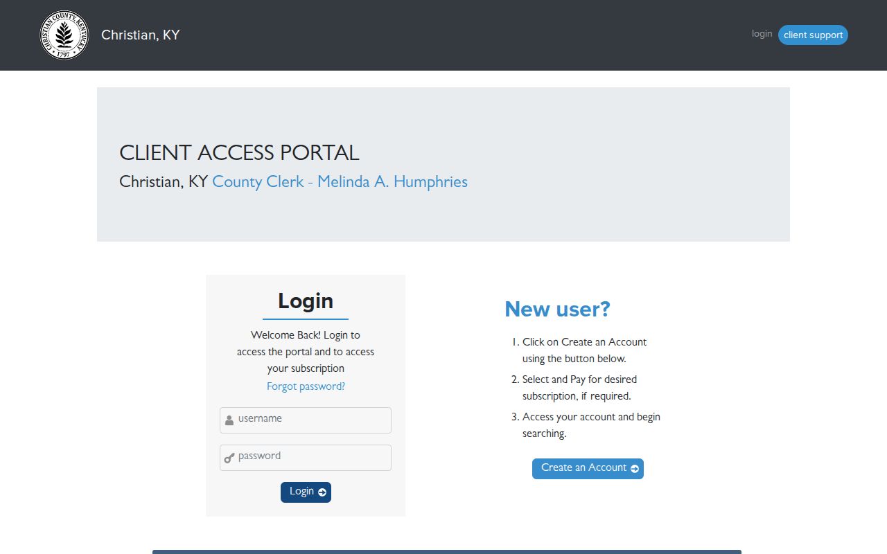
The access gate is itself important: office coverage is not the same as publicly searchable online coverage.
Hopkinsville Permits by Address
The Hopkinsville Accela property search accepts PIDN, address, property owner or contact, and additional date criteria. Its screen advises use of the percent sign as a wildcard. The residential permit form can include owner, parcel, subdivision or lot, work type, size, setbacks, flood and easement details, utilities, and a site sketch.
A permit or code case supplies an event date. It does not prove the named applicant performed the work or still owns the parcel. Search by address, then tie any result back to the parcel and deed date.
The address module is shown in the captured Accela source.
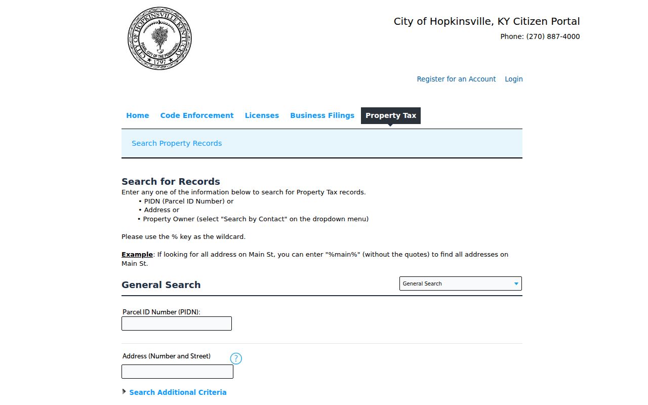
Its PIDN and address controls add a city event layer to the county land trail.
Renamed Hopkinsville Street Directory Entries
Hopkinsville’s official code records street changes from 1984 through 2024. Entries include South Sheridan to Justify Drive, West First to Phillip Meacham Way, East 8th to Bell Hooks Way, East 21st to Bill Flynn Boulevard, and Quarry Street to Pastor C.E. Timberlake Way. Verify the current definitive text with CDS/E911 because the code host carries a currency warning.
The alleged 1909 citywide renumbering was not supported by an authoritative source and should not be stated as fact. For a missing address, search the exact label printed in the old directory, then bridge it through the official code, E911, parcel number, and legal description.
Reverse Hopkinsville Street Directories
HCCPL and the Christian County Historical Society provide the historical address layer. The Historical Society reports telephone directories from 1900 onward. Business-directory years include 1897, 1899, 1907, and selected years in the 1910s through 1930. Gale reel holdings have gaps, so a missing edition cannot be treated as a missing household.
A criss-cross directory arranges entries by street, address, or telephone number. Use it to associate a published name with a place for that edition, then check the deed, census, newspaper, obituary, or probate file. The historical collections are treated fully on the Hopkinsville city directories page; here they serve only as a street-address tool.
Hopkinsville Street Search Vocabulary
Several land terms prevent false matches. Preserve them exactly when moving between the PVA, clerk, map, and permit systems.
- Parcel
- A mapped land unit with a county identifier.
- Situs address
- The physical address assigned to the property.
- Plat
- A recorded map showing lots, blocks, streets, and subdivision layout.
- Legal description
- The deed’s land description, which can survive a street rename.
- Criss-cross directory
- A directory arranged by address or telephone rather than surname.
A parcel report may carry a shortened description with a warning that it is not the legal description. Use the recorded deed or plat for the controlling land language.
Hopkinsville Street Directory Limits
A property owner is not necessarily an occupant. Renters and other household members are not compiled in one public Hopkinsville street directory. The public Voter Information Center requires a known name and birth date rather than offering a block browse, and broader voter files have request limits. Driver records, utility customer accounts, sealed cases, and Safe at Home addresses remain protected.
ZIP codes cannot fix the gap. Hopkinsville’s postal pair is 42240 and 42241, but a ZIP is delivery geography, not proof of city limits or residence. Verify delivery with USPS, land with PVA/GIS, and ownership with the deed.
Lawful use. Use street records for personal research, genealogy, property curiosity, and civic knowledge, never to stalk, harass, threaten, or harm anyone.
When records conflict, contact the custodian and keep the retrieval date. A street directory is a trail of dated evidence, not a live household roster.